News edition for 20 October 2026. Added to Nungya on 22 October 2026 as part of our retrospective news archive. Reporting reflects information available by the edition date.
Dense bush and steep terrain can make heritage surveys slow and difficult. In the Blue Mountains, a collaboration with Dharug custodians is using drone-based mapping to help identify places for closer investigation on foot.
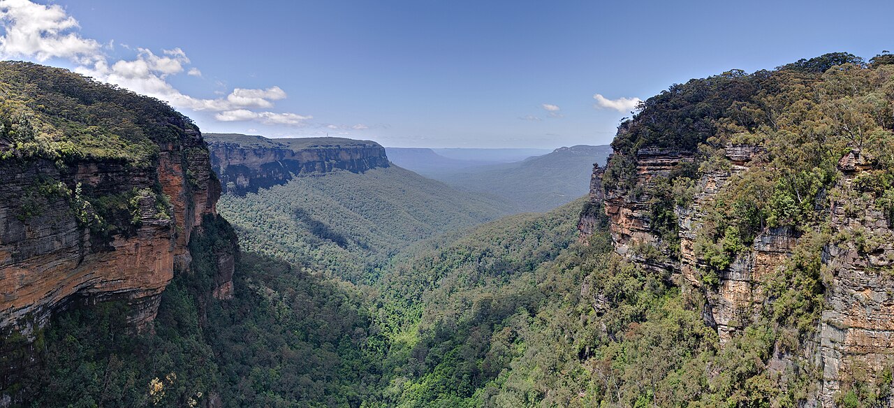
The University of Sydney’s 14 October report describes work with the Dharug Custodian Aboriginal Corporation and the Australian Museum through the Gulamada Project. Drone-based LiDAR, which uses laser pulses to map the landscape, helped identify three previously unregistered Aboriginal rock shelters.
Researchers then visited potential locations to verify the sites and assess cultural material. Wayne Brennan and Erin Wilkins led recording at confirmed sites. The surveys also confirmed six previously registered shelters and improved location information. The study is published in the journal Remote Sensing.
The project is built around working side by side, bringing scientific methods and First Nations knowledge together in caring for Country. Its value extends beyond finding a feature on a map: useful records can support custodians’ work to document and protect cultural places. The researchers plan further collaboration to test the approach in other environments. For now, the Blue Mountains work demonstrates what a targeted aerial survey and careful ground investigation can achieve together.