News edition for 14 June 2026. Added to Nungya on 22 October 2026 as part of our retrospective news archive. Reporting reflects information available by the edition date.
Mimal’s Indigenous Protected Area connects with neighbouring conservation areas across south-central Arnhem Land. A dedication celebration near Bulman has brought attention to the people caring for that connected landscape.
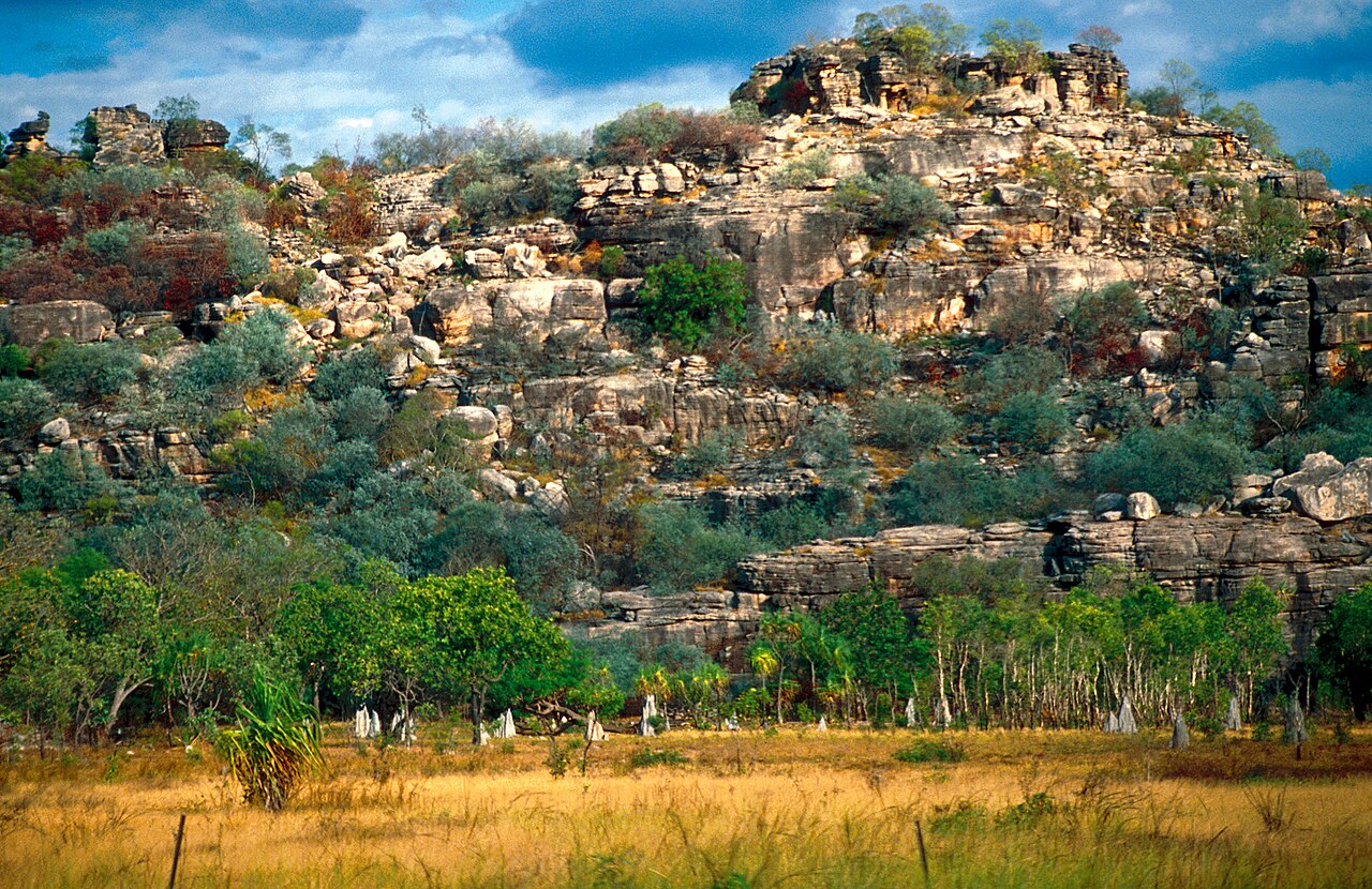
A government report published on 13 June described a celebration near Bulman marking the dedication of the Mimal Indigenous Protected Area in south-central Arnhem Land. It covers more than 1.6 million hectares and is managed by Mimal Land Management Aboriginal Corporation.
The report identifies connections with the Warddeken, Djelk, South East Arnhem Land and Arafura Swamp protected areas, as well as the neighbouring Wongalara Sanctuary. Together, those links form a substantial Indigenous-owned conservation corridor.
Northern quolls, black-footed tree-rats and Gouldian finches are among the threatened animals mentioned in the announcement. Cultural places also sit within this landscape. Their presence is a reason to respect the authority of the people responsible for Country, rather than to treat a news report as permission to seek out particular sites.
There is a useful change of scale here: from one dedication celebration to the patient work of managing a connected landscape. The published announcement marks a milestone. The relationships between neighbouring Country, ranger teams and generations of knowledge give that milestone its wider meaning.
Read the original report: Dedication ceremony for Mimal Indigenous Protected Area in Arnhem Land.